
Vesterålen Map
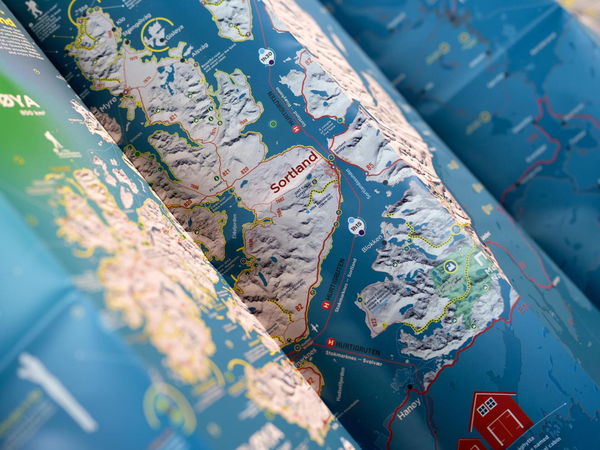
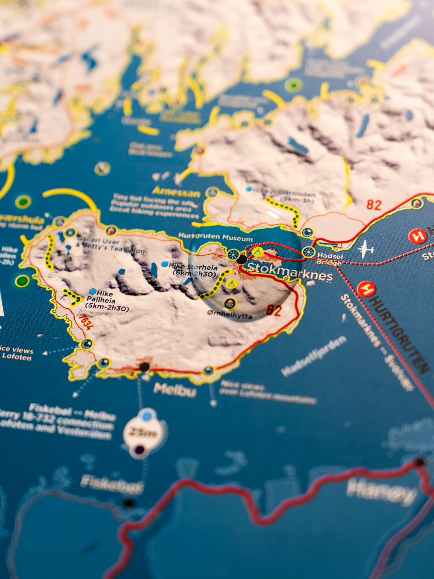
This “Vesterålen” map is designed to guide travelling photographers and hikers.
Since 2025, Michäel LEVY, a photographer specializing in Nordic territories, has explored the Vesterålen Islands in every season to create a unique map available in both printed and digital formats.
Throughout its development, he was advised by Visit Vesterålen.
This “Vesterålen” map is designed to guide travelling photographers and hikers.
It brings together everything you need to explore the region and uncover its hidden gems: international-photographer.com/en/
Printed on waterproof paper and available in English, it features an innovative, aesthetic design with exceptional clarity and readability.
You will find the following information:
- Must-see locations
- Photographic spots
- Viewpoints Northern Lights viewing spots
- Places of interest
- Lighthouses Churches
- Rorbuer (traditional fishermen’s cabins)
- Wilderness huts & DNT huts
- Forests
- Wildlife
- Mountains
- Detailed road map
- Scenic roads
- Travel times
- Ferries / maritime routes
- Boat routes
- Car parks
- Campsites
- National Parks and Nature Reserves
- Hiking & walking trails
- This map is accompanied by a 200-page ebook guide.
The “VESTERÅLEN TRAVEL PACK” is available for purchase here: international-photographer.com/en/produit/vesteralen-travel-pack/