
Top 5 hikers' paradise Andøy
The nature in Andøy Municipality is extraordinary, and you will find plenty of hiking possibilities. Here are five of the finest hikes described in more detail.
Andøya mountains
In the northern part you have mountains that are quite easy to conquer, but still offers spectacular views of the Norwegian Sea, craggy mountains and kilometres of white sandy beaches. Further south, the terrain is varied with large marshlands, valleys, pinewoods and tall mountains. No matter the time of year or your desired difficulty level, there is certainly a hike suitable for you.
Måtinden (408 MASL)
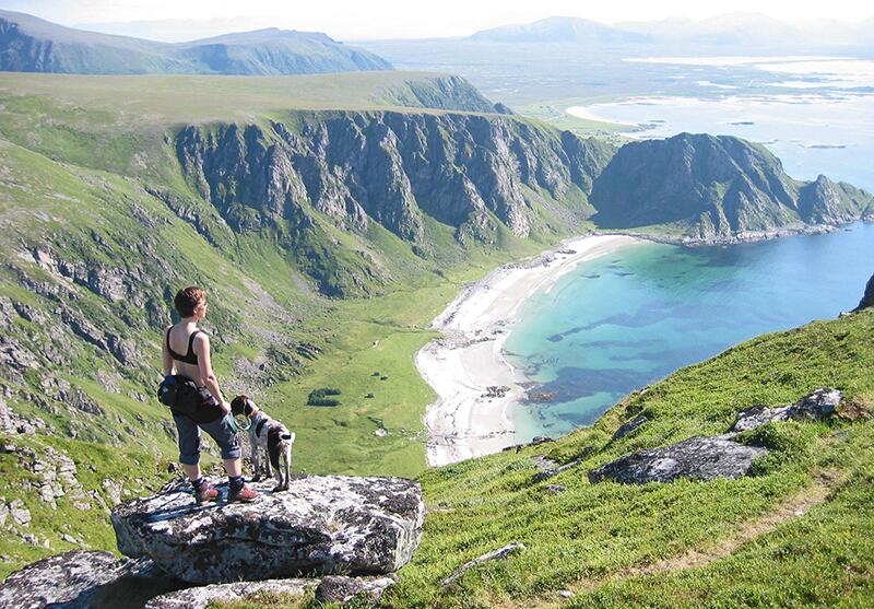
An altitude of 408 does not sound like much, but the spectacular view from Måtinden is out of this world. From the summit you will glance down at craggy mountains, white sandy beaches, endless oceans and the idyllic Bleik Island, which is the home of bird species like puffins, razorbills, guillemots, cormorants and eagles. To reach the summit, there are three alternative routes. Most people choose to start from Baugtua, which is located at FV976 between the villages of Stave and Bleik. This is the shortest and easiest trail. There are only room for a few cars at the parking lot, so make sure to park safely and with respect to others. It is possible to start from Stave or Bleik as well. However, these routes are more challenging and exposed. If you feel like doing a longer hike, we recommend walking the coastal trail from one village to the other. The scenery between the two are spectacular, and you can walk along both Høyvika and Bleik beach on your way.
- Duration: 2-3 hours roundtrip
- Length: 7.60 km
- Difficulty: Medium
Møsje 65 MASL
Møsje is a nice and easy trek suitable for the entire family. From the parking lot at the old skiing facility, there is boardwalk leading out to the recreation area. At the end you will reach a cosy cabin and bonfire site. On your way you must cross a bridge and wander through the adventurous Troll Forest. We recommend taking e detour by the fishing wharf at Møsjevatnet.
- Duration: 1-hour roundtrip
- Length: 2.60 km
- Difficulty: Easy
Roundtrip Andhue 288 MASL - Røyken 468 MASL - Ramnan 376 MASL
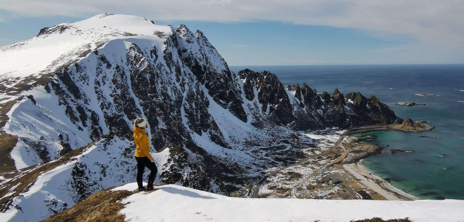
Andenes is the starting point of several relatively short, but magnificent hikes. We recommend doing a roundtrip through Andhue, Røyken and Ramnan. On your way to the summit you will experience a varied landscape, as you are surrounded both by craggy mountains and long sandy beaches, which are more reminiscent of a tropical paradise than an arctic landscape. The trail starts in Bjørndalen, where you first walk up to Andhue. Here you will have spectacular views of Røyken’s wild and craggy mountain ridge and the charming village of Andenes. Next, you follow the trail towards Røyken, where you get views of the Bleik Beach, one of the longest and most beautiful beaches in the country. Finally, you take the trail down to Ramnan and the Alomar-station, which is an observatory of Andøya Rocket Launching Range. From here you follow the dirt road back to the parking lot.
- Duration: 2-3 hours roundtrip
- Length: 7.50 km
- Difficulty: medium
Gavltinden 662 MASL
Gavltinden, located on the southern tip of Andøya, dominates the northern view for everyone travelling along the Sortland Sound. Consequently, it has become a landmark in Vesterålen. The hike is magnificent both by foot and on skis. However, if you decide to conquer the mountain in the winter and early summer months, be aware of snowdrifts at the summit. Do not take any unnecessary risks! The starting point is next to the church at Skjodehamn. From here you follow a cart track for a little while that eventually will transform into a well-trodden path. From the summit you have breath-taking views towards Risøyhamn, Alsvåg and the entire Sortland Sound.
- Duration: 2.5-3.5 hours roundtrip
- Length: 7.20 km
- Difficulty: medium
Innerheia 772 MASL
Forfjorden and Buksnesfjorden are separated by a beautiful mountain range. Here is a great hiking route to the summit of Innerheia. To start of your trip, you park in the outer part of Buksnesfjorden, where you walk along the trail leading to a mast. Thereafter you just follow the marked spots along the mountain ridge. The path goes partly through forest and brushwood, but the terrain opens up once you cross the treeline. From here you have fantastic views of the Sortland Sound, Andøy and Forfjorden, which is the intersection of all the valleys in the area.
- Duration: 5-6 timer hours roundtrip
- Length: 15 km
- Difficulty: Hard